Taxes included.
A rare Meiji-era Japanese geography book published under the Ministry of Education, featuring European maps, city views, architecture engravings, and political geography. An original 1891 Volume Two of Kōchishiryaku.
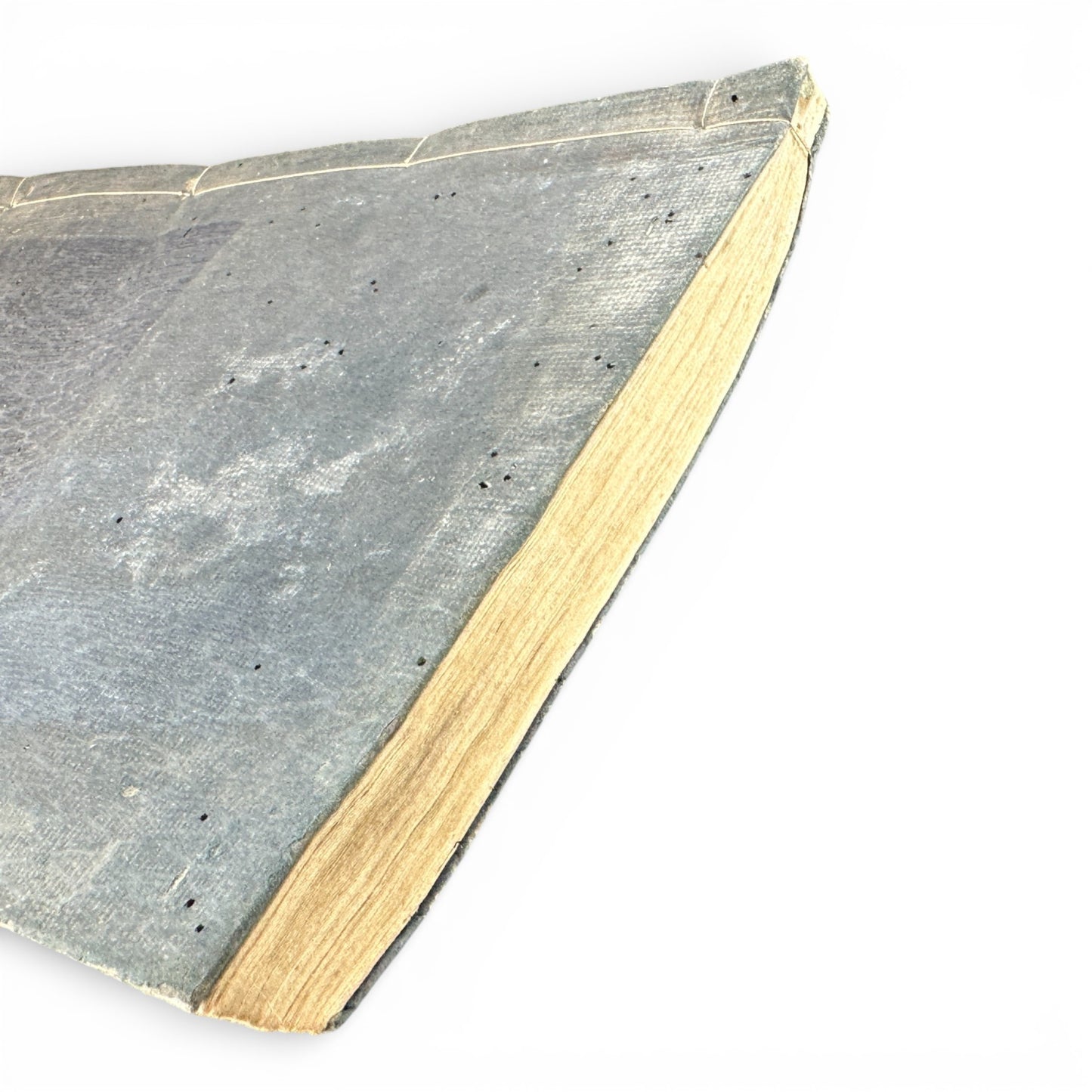
This original Japanese book is titled 「興地志略 二篇」 (Kōchishiryaku, Volume Two), a government-approved modern geography and world studies text produced during the Meiji period.
Printed in Meiji 24 (1891) and compiled under the supervision of the Japanese Ministry of Education (文部省), this volume reflects Japan’s rapid adoption of Western geographical knowledge, cartography, and political science in the late 19th century.
Content Overview
This volume focuses primarily on Europe, combining textual geopolitical analysis with detailed visual materials, including:
- Large fold-out engraved map of Europe
- Regional maps with borders, coastlines, and place names
- Engravings of European cities, architecture, and urban life
- Street scenes showing Western clothing, carriages, and public spaces
- Architectural engravings of major European civic and religious buildings
- Descriptions of population, economy, politics, and military affairs
The illustrations are executed in fine line-engraved style, adapted from Western sources and recontextualized for Japanese readers — a hallmark of Meiji educational publishing.
DETAILS
-
Title (Japanese): 興地志略 二篇
-
Romanization: Kōchishiryaku
-
Translation: Abridged World Geography – Volume Two
-
Volume: Second volume
-
Editor / Compiler: 内田正雄 (Uchida Masao)
-
Supervising Authority: 文部省 (Ministry of Education)
-
Date: 明治二十四年 (1891)
-
Language: Japanese
-
Subject: World geography, Europe, political geography
-
Illustrations: Maps & engraved illustrations
ILLUSTRATIONS & MAPS
- Full fold-out map of Europe
- Regional European maps
- City and street scenes
- Architectural engravings
- Period depictions of Western daily life
These visuals are particularly valuable for collectors due to their historical perspective on Europe as viewed from Meiji-era Japan.
Kōchishiryaku was part of Japan’s state-approved educational materials, used to introduce students and officials to modern world geography and geopolitics.
This volume is significant for:
- Meiji modernization studies
- History of cartography
- Western–Japanese knowledge exchange
- Early Japanese views of Europe
Original copies with maps and illustrations intact are increasingly scarce.